 2013.07.14 - To celebrate my first century (100+) geocaching find day in a while, we decided to walk Lake Arrowhead State Park near Wichita Falls, Texas. Lake Arrowhead was opened in 1970 through an acquisition of 524 acres under the State Parks bond Program. On the Little Wichita River, it is a reservoir with 106 miles of shoreline built primarily as a water supply to the City of Wichita Falls and doubles as a major recreational park for the North Central Plains. There is a fee to get into the park, but went ahead and got the state park pass as I hope to trek other state parks in the next year.
One main attraction in Lake Arrowhead is a 5 mile equestrian trail with Frisbee golf and of course hiking. The trail itself is not dirt or paved, rather trimmed width enough to set a course and yet keep in tact it's natural surrounding. We learned that this is probably the best type of trail for wet rainy days, as it doesn't muddy up and is very easy to walk on.
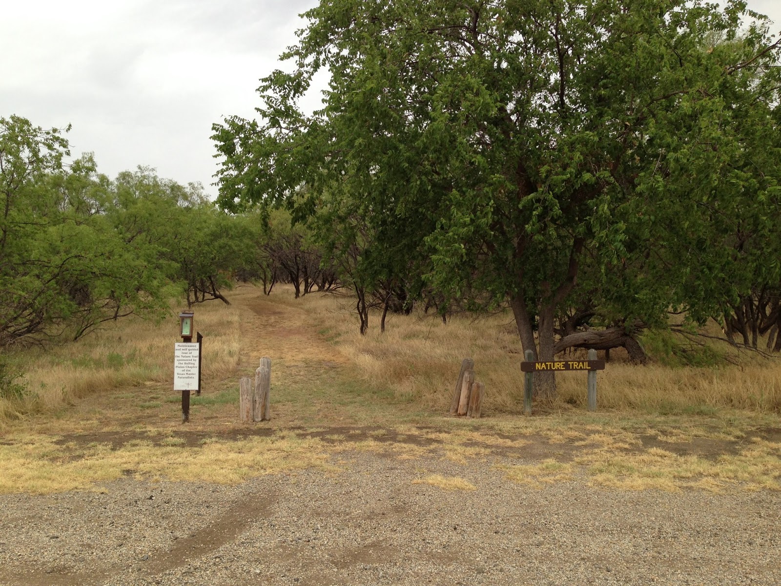
 The Dragonfly trail is only a quarter mile and is separate from the main trail but if one parks on the southern parking area near the equestrian site then both trails are accessible. Being an interpretative trail, the Dragonfly with the accompanying pamphlet at the trail head teaches about plant life and certain birds in the park. No need to worry about elevation as the area is flat, yet that doesn't mean it can't be worth while.
 Turns out there are some caches in the park. Surprising, I know. A few years ago Texas geocachers and the State Parks partnered to expand the game while growing membership. Although, I have been known to just pop into a start park grab some caches and go, this time around, I hope to hike more and have the caches become a perk and secondary. However, the walking from one cache to another does make the hike go faster and keeps us motivated.
 The main trail, Onion Creek is five miles long and very much designed for horses. We went away from the grain at first and circled the southern end. It wasn't a hot day, but very cloudy. Even the light rain felt good. By the time we completed the trail and headed north, we felt the rain pouring. At this point and a few others, we talked about turning around and heading to the car, but once wet, you can't get any wetter. Yes, that is sound logic. The good thing is we didn't get muddy because of the grass trail and we found a lot of caches.
 While walking in the rain, we happen upon the Mesquite Ridge Trail. We didn't know at the time that we were off the main trail until we got to the end. Along the way, we climbed a grassy wet slope to a bench with a neat view a little shelter and rock steps on the other side. At this point, we could have followed the road to the other end, but that wouldn't be any fun.
 We went back to the main trail and headed north to finish the trail. We knew from the 1/2 mileage postage signs how far had to go. To get to the northern side, we cross under FM 2506 by culvert. It has a grass floor to keep it from getting muddy, but it doesn't look high enough for horse and man. Then again I could be wrong.
Even with the grass, the northern side was a little muddy, but not so bad that it added extra weight under our shoes. While walking past check out the dam. The area is running on drought restrictions and the lake looks low. Wish there was a way to manufacture water somehow.
 When we made it back to the car, we were amazing the few dry spots we had, but there were a few as well as the memories. Even though, I have been here before, this time around, this was definitely a better experience. As is, in life, the boring stuff is forgettable, but those few moments that have a little chaos, those are the best. I am glad we didn't stop our hike because of a little water.
I walked 7.22 miles in 2 hours and 27 minutes averaging 20 minutes : 25 seconds per mile in the rain.
Total Blogged Miles: 123.17 miles.
No comments:
Post a Comment